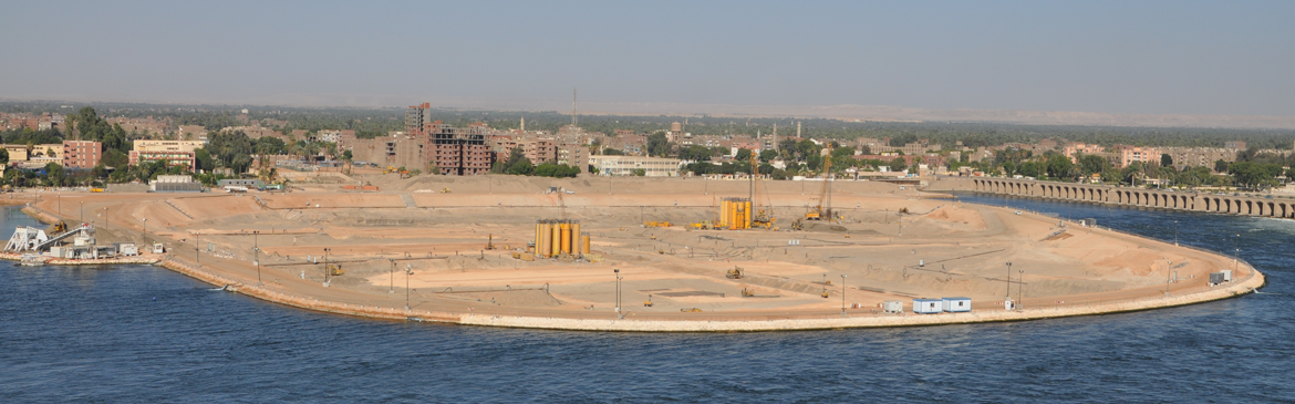
Bildweiher
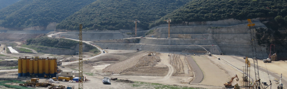
Dike Remediation with Jet Grouting

The Bildweiher (a pond), established in the early 19th century in the west of the city of St. Gallen, was primarily used in the past as a water reservoir for industry along the Kräzerenbach and for breeding fish. Today, the area around the pond is a local recreation area and the pond itself is a protected nature reserve (amphibian spawning area of national importance). At the same time, it serves as a spillway for the Walkebach, which flows in from the southwest. The south-eastern end of the pond is formed by an artificial dike.
Geotechnical investigations were executed and led to the result that the weak points of the dike are as follows:
- the sedimentation material under the embankment of the dike and the lack of a suitable dike foundation,
- the old dike embankment fill with inappropriate material, and
- the significantly tensed groundwater.
As a measure to improve the dike stability, BAUER Spezialtiefbau Schweiz AG was awarded the execution of an additional sealing of the dike and thus of the pond by means of jet grouting (HDI).
- Employer: Gemeinde (Municipality of) St. Gallen, Tiefbauamt (civil engineering authority)
- Client: HASTAG Bau AG
- Execution: BAUER Spezialtiefbau Schweiz AG
- Scope of works:
- 1,500 m² cut-off wall (embankment sealing), executed as jet grouting half-columns
- 80 m foundation columns as jet grouting full columns
- Drilling depths up to 11 m
- 40 m² jet grouting as protection for a construction pit
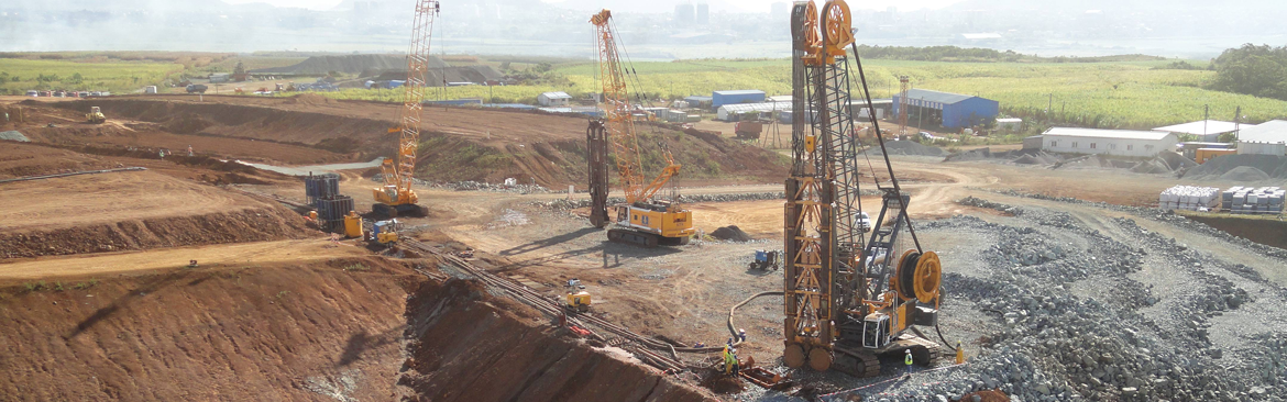
Equipment: KLEMM KR 720 jet grouting unit
Geology:
The local geology in the area of the Bildweiher Dike can be schematically divided as follows:
Backfill / top layer: consisting of
(1) embankment fill (new) consists mainly of sandy silt or clayey-silty sand with abundant gravel, stones;
(2) embankment fill (old) consisting of clayey and clayey-sandy silt with individual pebbles. It contains a lot of organic material (reed remains, wood, etc.) as well as thin sand lenses; and
(3) a natural top layer which consists of clayey-sandy silt with individual stones
Sediments resulting from the silting up of a lake (so-called Verlandungssedimente): These are strongly clayey and clayey fine sandy silt with a lot of organic material (wood and peat remains), locally even pure peat. A layer of clayey-silty sand with a lot of organic material also exists at the base of the sediments.
Stream debris, consisting predominantly of weakly silty sand and gravel
Moraine, consisting of a clayey-silty sand with abundant gravel, stones and blocks in firm to very firm bedding.
Construction period: June 2021 – August 2021
Miscellaneous: Sensitive work, within the closed season on and in the waters, in the area / vicinity of a nature reserve.
Bauer Spezialtiefbau
![]()
How to find us
BAUER Spezialtiefbau GmbH
BAUER-Strasse 1
86529 Schrobenhausen
Germany
Phone: +49 8252 97-1178
e-mail: info@bauerdamcontractors.com
Social Media
Copyright © , All Rights Reserved